Thank you! Your submission has been received!
Oops! Something went wrong while submitting the form.

"PiinPoint has become an integral part of my role as Retail Analyst at Cushman & Wakefield Waterloo Region. The platform allows me to put together professional looking reports and provide clients with the insights they need to make real estate decisions.
I honestly don’t know how I would do my job effectively without PiinPoint."
Jessica McCabe, M.Ed.
Retail Analyst


Provides demographic, psychographic, and behavioral data for customer segmentation and trade area analysis. Environics data powers insights into consumer lifestyles and buying patterns, helping businesses better understand their market potential.
The AGS Demographics dataset offers deep, localized insights into age, income, education, family structure, and housing trends across the United States. By integrating this data, PiinPoint helps businesses assess trade areas, forecast performance, and plan growth with unmatched demographic accuracy.
ChainXY’s authoritative datasets include thousands of retail and restaurant chain locations across North America. Integrated into PiinPoint, ChainXY helps retailers benchmark against competitors, assess market saturation, and plan with a comprehensive view of the competitive landscape.
PiinPoint incorporates national census data from Statistics Canada to ensure your insights are grounded in the most reliable population, housing, and labor market data available. Ideal for long-term strategic planning and public sector applications.
Spatial.ai transforms billions of location-based social media interactions into actionable psychographic clusters. With PiinPoint and Spatial.ai, brands can tap into real-time consumer sentiment and behavior trends to enhance site selection and marketing strategy.
For U.S. markets, PiinPoint may integrate U.S. Census Bureau data including American Community Survey (ACS) information to enrich trade area analysis and demographic segmentation.
Synergos brings forward-thinking datasets like the STI: PopStats, providing dynamic, frequently updated population estimates that reflect real-world conditions. With PiinPoint, this data enables brands to respond faster to demographic changes and market volatility.
BuildCentral provides forward-looking data on commercial construction projects, helping businesses anticipate shifts in demand before the competition. Within PiinPoint, BuildCentral data empowers users to make proactive site selection decisions based on what’s being built next.
The Australian Bureau of Statistics delivers comprehensive and trusted data on population, households, income, employment, and more. PiinPoint integrates ABS datasets to support market analysis and site planning across Australian geographies—helping businesses make location decisions with local confidence.
PRIZM is Canada’s premier segmentation system, combining demographics, psychographics, and lifestyle traits into 67 distinct consumer profiles. With PiinPoint and PRIZM, you can identify your ideal customer segments and uncover untapped opportunities by location.
Panorama from AGS is a comprehensive segmentation system that classifies U.S. households into detailed lifestyle clusters based on demographics, income, consumer behavior, and housing characteristics. Within PiinPoint, Panorama empowers brands to identify their ideal audiences and tailor location strategies with precision.

Gain powerful insights into the values, interests, and behaviours that define any community. Our segmentation offerings—Panorama and CanAM by AGS—deliver rich consumer profiles tailored to both U.S. and Canadian markets, enabling hyper-targeted market analysis and smarter site selection.Go beyond demographics with our geosocial segmentation powered by Spatial.ai, using real-time social media activity to reveal emerging behavioural trends and cultural signals at the neighborhood level.

Demographic data providers include Statistics Canada (Canada), the U.S. Census Bureau (USA), Synergos Technologies, Applied Geographic Solutions, Environics Analytics and the Australian Bureau of Statistics (Australia).
Visualize stats on housing, age distribution, income, workforce, spoken languages and more.

Visualize competitors, anchors and industry groupings around your markets. For North America, points of interest data is sourced from ChainXY. They collect and validate chain lists regularly to improve positional accuracy. All chain-based data on our app is updated on a quarterly base.

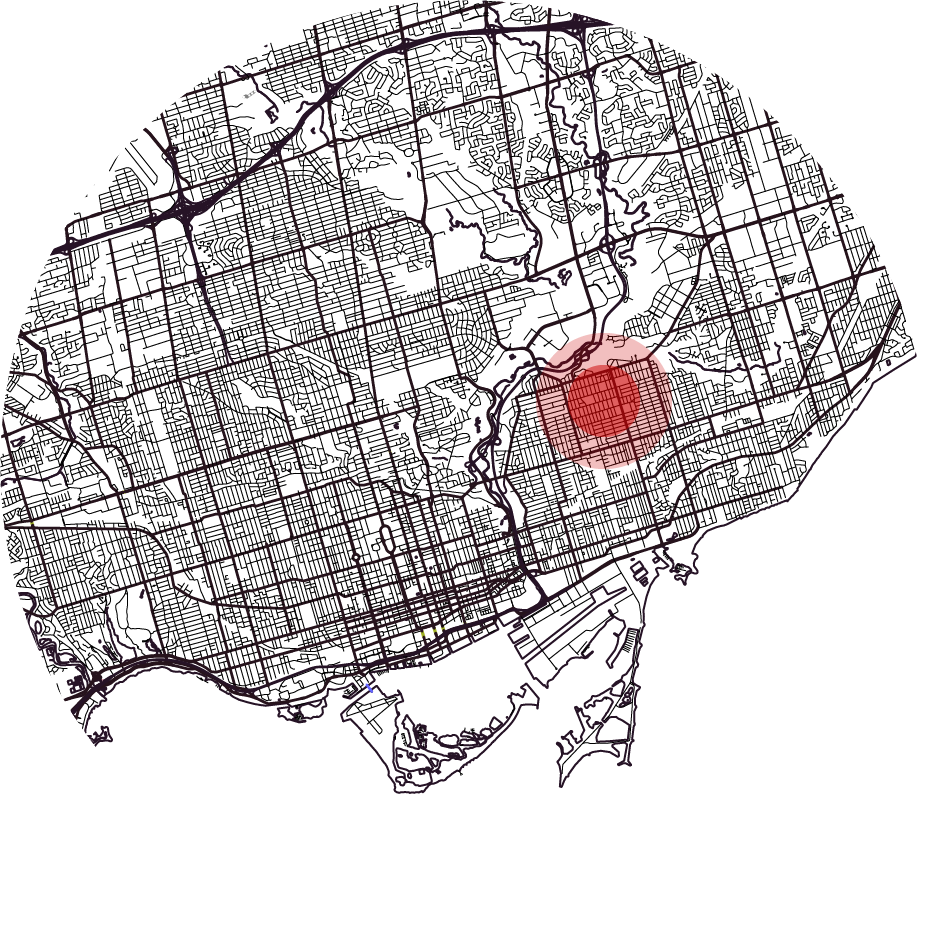
View traffic counts and patterns around your sites. Understand directional traffic volumes by time, day and year.

Get a customized report of the people who visit any location boundary you define with custom geofences. Using mobile location data you can understand the movement of your customers; get daily traffic volumes, length of visits, monthly trend analysis, and more. Data provided by Environics Analytics.


It comes as no surprise that the absence of a focused data strategy centered on location intelligence is a significant hurdle to the practical application of AI to Real Estate planning. Real Estate executives and GIS experts agreed that in the absence of a holistic data strategy, the organization suffered from three typical roadblocks to leveraging AI effectively: 1) data silos within the organization - non-integrated spatial and other data sources, 2) missing data - incomplete consumer or real estate supply data, 3) acquiring unique sources of new data for competitive advantage.

Retail real estate is highly competitive, but John Thys of Driven Brands is taking a different approach. In this Q&A, he shares how his LinkedIn group helps retailers collaborate on site listings, find co-tenants, and uncover new opportunities.

The COVID-19 pandemic has hit us all, but very few industries have been hit harder than retail. In Canada, PiinPoint’s Mobile Location Data shows that visits to retailers are down 76% from this time last year. PiinPoint is using anonymous mobile location data, to track the impact of the COVID-19 Pandemic on Canadian retailers, and monitor the recovery over time. Check out our report to see the impact on different retailers, and sign up for weekly updates.
